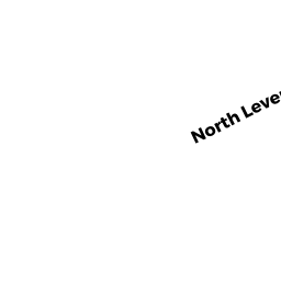
REAR NORTH LEVERETT RD
LEVERETT, MA01054
Owner Information
HOLLINGSWORTH CRAIG S
338 NORTH LEVERETT ROAD
LEVERETT, MA 01054


Property Details
REAR NORTH LEVERETT RD is classified as a Undevelopable Residential Land.
REAR NORTH LEVERETT RD is valued at $13,800. The land is valued at $13,800 and the structures are valued at $0.
REAR NORTH LEVERETT RD was last sold on Sunday, October 1, 1995 for $2,200.
Assessment data from fiscal year 2022.
Flood Data
According to the FEMA National Flood Hazard Layer, this property does not appear to be in a flood zone. It may also be in an area not yet reviewed. Nonetheless, confirm this information prior to taking any action.
To view the flood hazards around this property, create a FEMA "Firmette" Map of the area around REAR NORTH LEVERETT RD.
Broadband Internet Providers
| Provider | Type | Bandwidth (mbps) | |
|---|---|---|---|
| Viasat Inc | Satellite | 100 | 3 |
| VSAT Systems, LLC. | Satellite | 2 | 1 |
| HughesNet | Satellite | 25 | 3 |
| GCI Communication Corp. | Satellite | 0 | 0 |
| Verizon New England Inc. | DSL | 5 | 0 |
| Otelco Inc | Fiber | 1000 | 1000 |
Broadband service provider data from December 2020.
Adjacent Properties
- 342 NORTH LEVERETT RD
Mixed Use (Primarily Residential, some Recreation) owned by SHEA LAUREEN - 342A NORTH LEVERETT RD
Single Family Residential owned by MASTERTON THOMAS A - 342B NORTH LEVERETT RD
Single Family Residential owned by SHEA LAUREEN - REAR SKERRY RD
All land designated under Chapter 61 (not classified as Open Space) owned by STEVENS THOMAS H - 9 SKERRY RD
Single Family Residential owned by SAYER STEPHEN - 15 SKERRY RD
Mixed Use (Primarily Residential, some Forest) owned by YOUNG RAYMOND Y - 338 NORTH LEVERETT RD
Single Family Residential owned by HOLLINGSWORTH CRAIG